This summer, we welcomed three fellows into our office as part of our Summer of Maps program. As part of the program, students pursuing careers in geospatial data analysis work alongside our staff to receive mentorship while completing projects for nonprofit organizations.
This was the 7th year of our Summer of Maps program. Since 2012, Azavea Summer of Maps fellows have completed 40 projects for nonprofits in a wide range of domains. Read about each project and view project results and maps at summerofmaps.com/projects.
2018 project results
Our 2018 Summer of Maps fellows completed projects for nonprofits that serve communities in several different domains.
To read a full description of each project, click on a project image or title below:
Mapping New Orleans Hidden Eviction Crisis
Fellow: Gabrielle Beaudry
Mentor: Daniel McGlone
Nonprofit: Jane Place Neighborhood Sustainability Initiative
In one key project result, Gabrielle found that one out of every 19 renter households in New Orleans was faced with an eviction order in 2017.
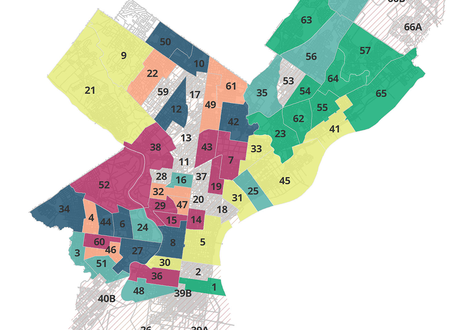
Exploring Philadelphia campaign finance data to understand impact of fundraising on elections
Fellow: Gabrielle Beaudry
Mentor: Esther Needham
Nonprofit: The Committee of Seventy
One of the first steps to data analysis projects is getting clean data. Gabrielle wrote R scripts that clean and aggregate campaign finance data based on the ward and/or candidate related to each campaign finance record.
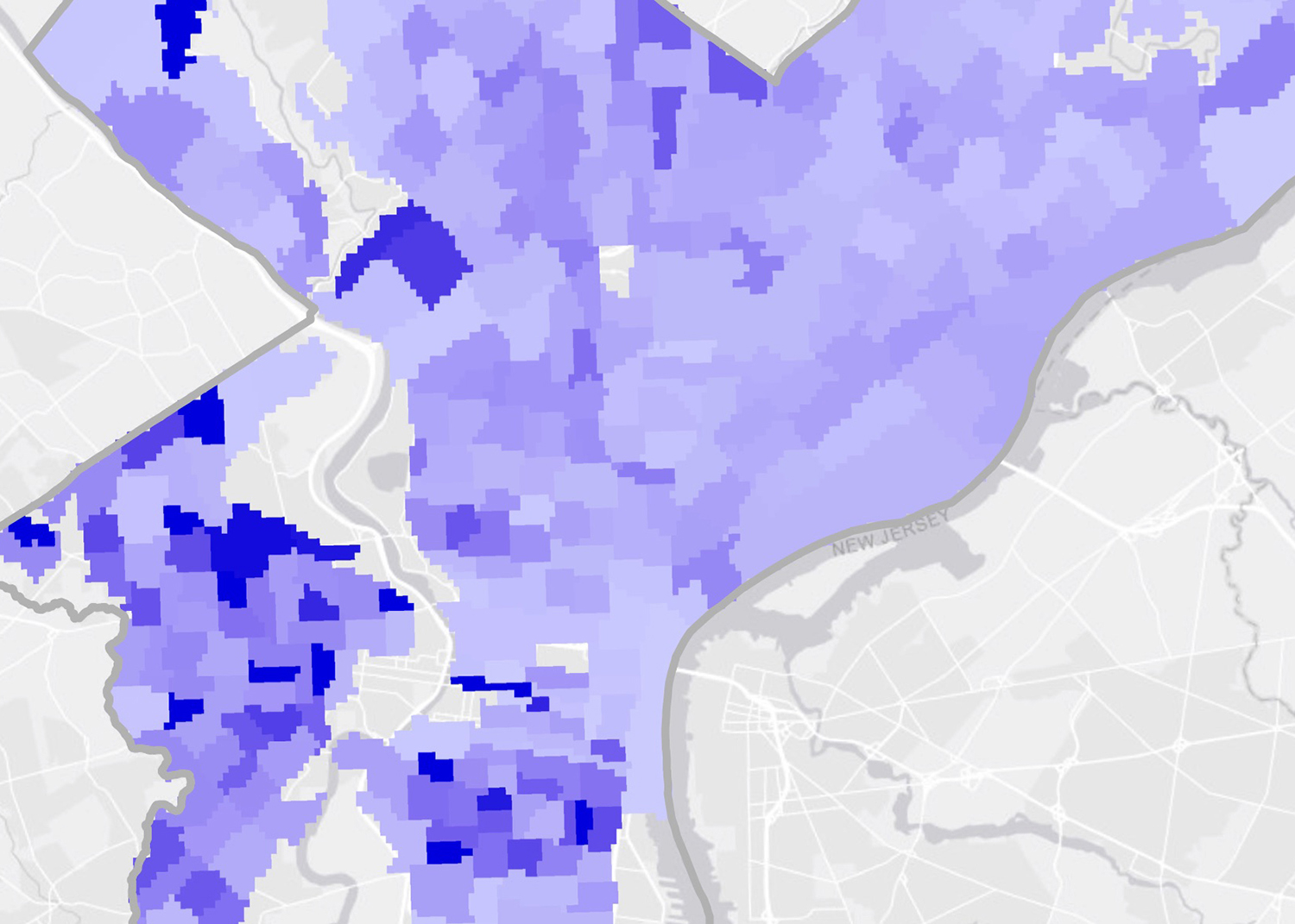
Analyzing Health Status, Income, and Social Determinants of Health Across Philadelphia
Fellow: Dale Watt
Mentor: Daniel McGlone
Nonprofit: The Legal Clinic for the Disabled
In addition to helping the organization understand the impact of factors like utility and food insecurity, Dale compared results to existing client locations to determine the locations of unmet legal need in Philadelphia.
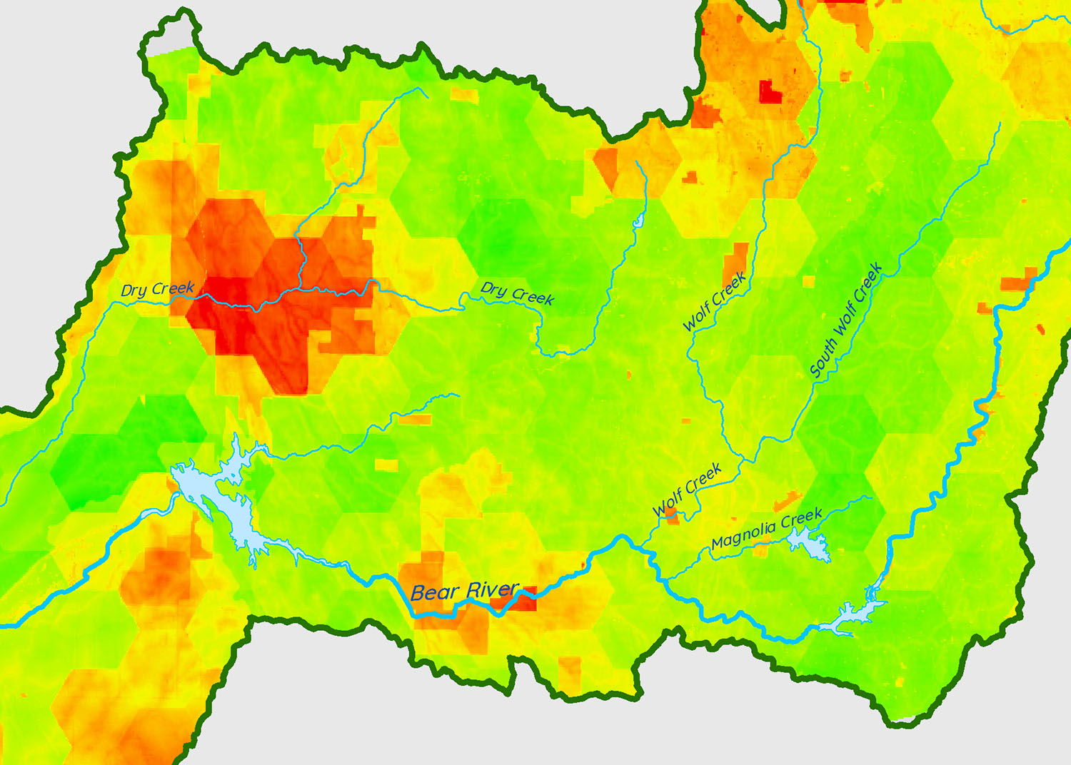
Prioritizing Restoration Projects in Sierra Nevada, CA Watershed: Using Suitability Analysis and Prioritization Models
Fellow: Dale Watt
Mentor: Dan Ford
Nonprofit: Sierra Streams Institute
Dale built flexible and adaptable habitat suitability, species distribution, and prioritization models to enable the nonprofit to apply this work to future projects for longterm impact.
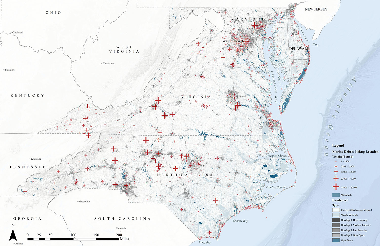
Identifying Patterns in Mid-Atlantic Marine Debris
Fellow: Xiao Wu
Mentor: Esther Needham
Nonprofit: National Aquarium
As one of the final project deliverables, Xiao created a map of the high-risk areas for marine debris presence to better inform future cleaning efforts.
Ecological Analysis of the Arctic National Wildlife Refuge
Fellow: Xiao Wu
Mentor: Ross Bernet
Nonprofit: Audubon Alaska
As part of this project, Xiao used R and remote sensing techniques in ArcMap to automate digitizing historical maps.
What’s next
Each project had it’s own challenges, but our fellows were motivated to learn new skills as they completed project work this summer. We’re excited to keep in touch with our nonprofit grantees as they leverage the results of these projects over the coming weeks.
The next Summer of Maps season is already on the horizon. If you’re interested in applying for a fellowship position or nonprofit services grant for the 2019 Azavea Summer of Maps program, sign up for our mailing list.
Become a Sponsor
Summer of Maps is organized by Azavea, but we are always looking for partners or sponsors! Please reach out if you are interested in sponsoring a fellow, mentor, or nonprofit organization for 2019!
If you would like more information about the Summer of Maps program or about ways you can get involved, contact summerofmaps@azavea.com.


